Route 24: A different ascent to the summit of La Maliciosa
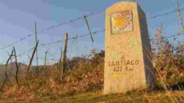
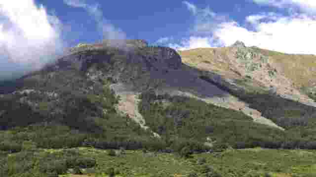
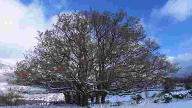
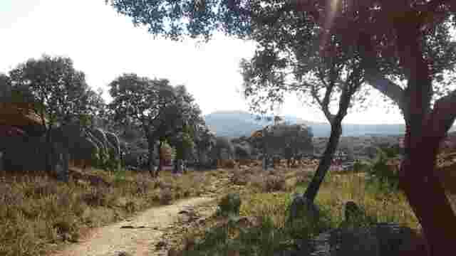
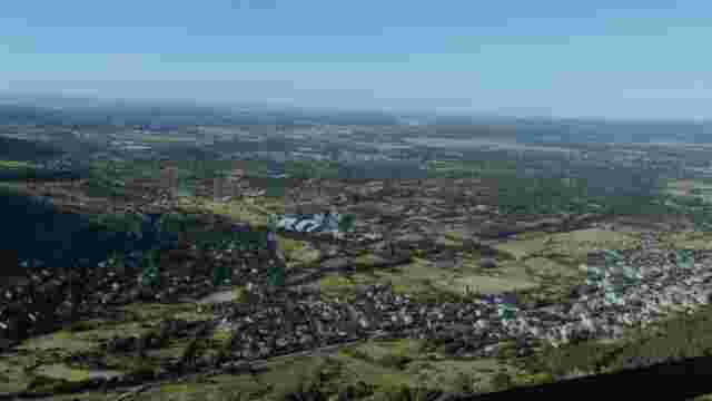
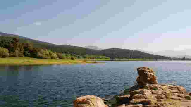
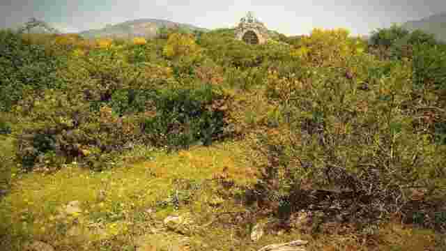
The route starts at the Vista Real housing estate (Becerril de la Sierra), which can be reached via the M-617 from Mataelpino or from the junction with the M-607 road. On entering the urbanisation you will see a steep road, continue along it until you find a dirt track and park your vehicle there. In the same place there is a barrier that restricts access to unauthorised vehicles. This is where the excursion begins, along the path that climbs up to the small dam at La Maliciosa. This is a somewhat demanding section due to the steepness of the route, although the views of the valley and the summit make up for the effort. It takes about 45 minutes to reach the dam.
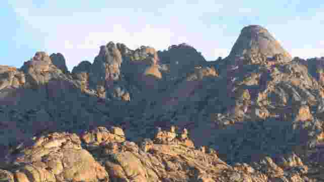
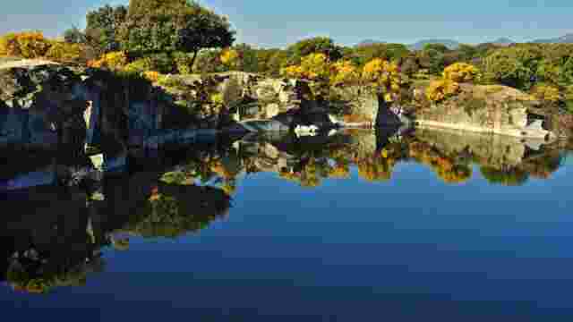
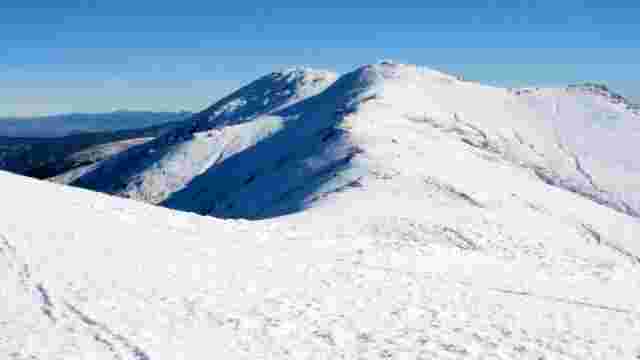
It is not advisable to start at a very brisk pace as the hike is long and the slopes to be overcome (both ascent and descent) are very considerable. Once you reach the La Maliciosa dam, a good place for a short stop, you need to locate a red metal fence, as this is the only viable passage to the path up the valley. The path is narrow but obvious and easily walkable even in snow, as there is usually a track. Continue up the valley between the course of the Peña Jardinera stream and the rocky ridge of Los Asientos until you reach in about 1 hour and 20 minutes (from the dam) the large channel that separates the two peaks of La Maliciosa (El Peñotillo Alto and La Maliciosa Alta).
At this point the views down the valley are very attractive and the relative proximity of the summit encourages us to continue the hike. In winter it may be necessary to put on your crampons and use your ice axe. Climb up the large cliff of the south channel until you reach the pass (40 minutes) situated between the two summits. From here head towards the main summit, which can be reached in 10 to 15 minutes. You are already on one of the most emblematic peaks of the Sierra del Guadarrama, at an altitude of 2,227 metres. The return is by the same route as the outward journey.