Route 1: From Manzanares El Real to Mataelpino on the Way of St. James
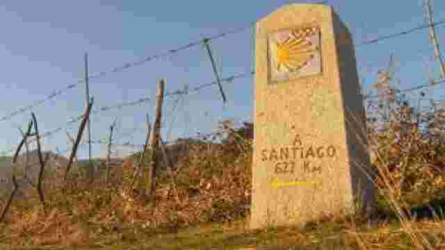
The route starts at the car park at the entrance to La Pedriza (next to the La Pedriza Visitor Centre) and follows the route of the Camino de Santiago along a cattle track. At this point there is a signpost and a milestone with specific information on the Way of St. James.
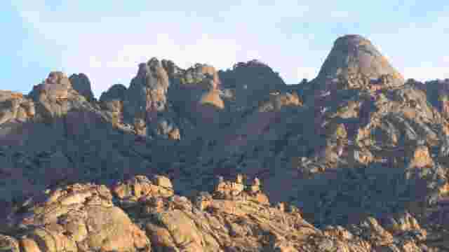
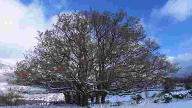
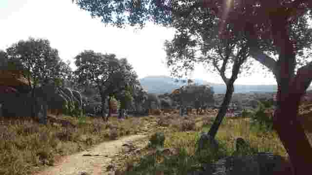
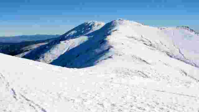
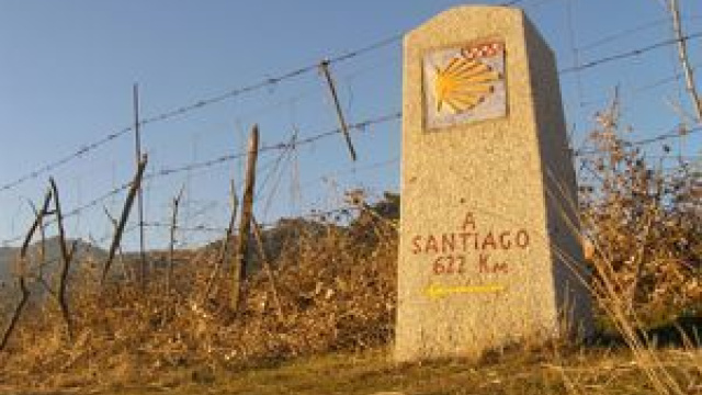
The route ascends slightly along the cattle track in a westerly direction, close to the metal fence that separates it from the pine forest of La Pedriza. Cross a stream and after a short while, after crossing an area of fenced fields, you will come to a wide meadow, a former cattle rest area. At this point we find a new milestone on the Camino de Santiago indicating 622 km. We continue on our way, admiring to our right the impressive granite formation of the Sierra de los Porrones, whose slopes are dotted with junipers and rockroses.
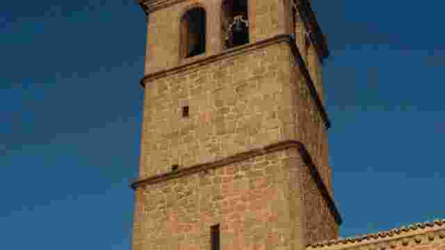
We will continue our way parallel to a small river on our left, which will allow us to appreciate the riverside woodland associated with its course. We will reach another cattle rest area with a fountain and continuing straight on, about 150 metres to our right we will come to the San Isidro Hermitage. Next to the hermitage there is a recreational area and a fountain.
We continue straight on, leaving some small vegetable gardens on our left and some livestock farms on our right. Ignore a small path that emerges on your right next to some small trees and continue along the route of the Camino de Santiago. A few metres further on we will take a path that goes off to our right and ascends gently between cattle farms with ash and oak trees and we will arrive at the entrance to the Finca Prado Nuevo. Once here, turn left to enter the village of Mataelpino and reach the Plaza Mayor.
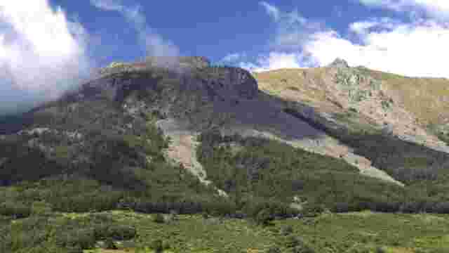
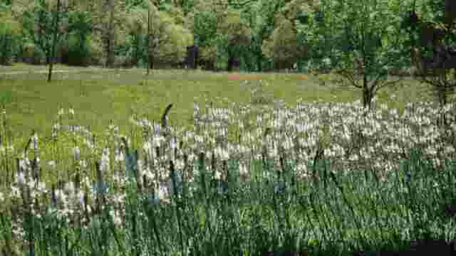
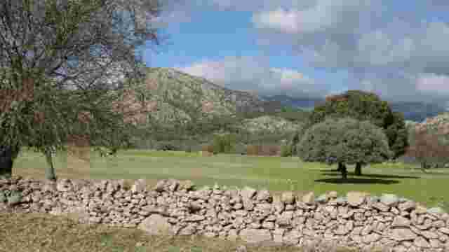
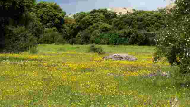
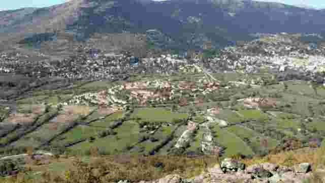
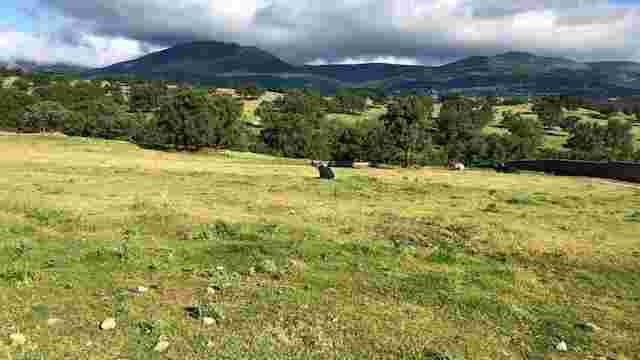
This route runs through the landscape unit called Dehesas y pastaderos de la depresión de Cerceda, taking advantage of the route of the cattle tracks and country roads that connect the villages of Manzanares El Real, El Boalo and Cerceda along the valley of the Samburiel stream. Livestock, meadows and water flowing through the irrigation channels are the elements of the landscape that best characterise this area of the region.