Route 10: From the Santillana reservoir to Cerceda via the Cañada Real
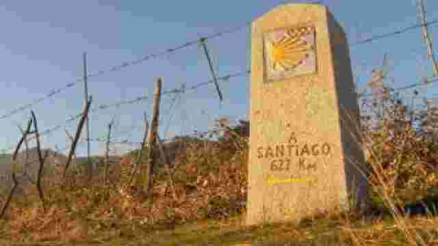
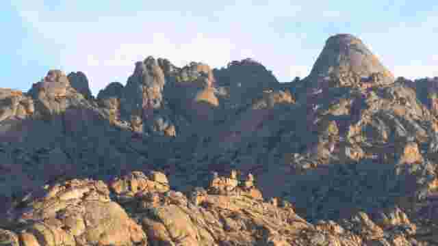
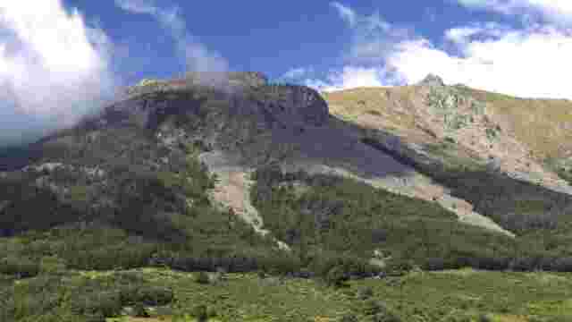
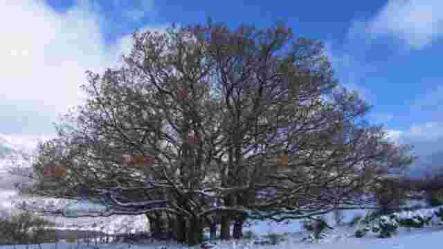
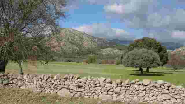
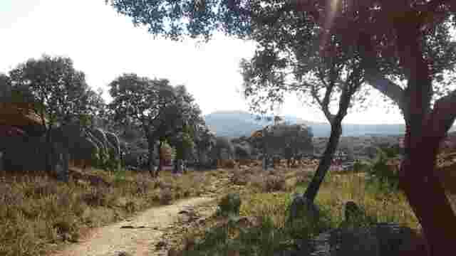
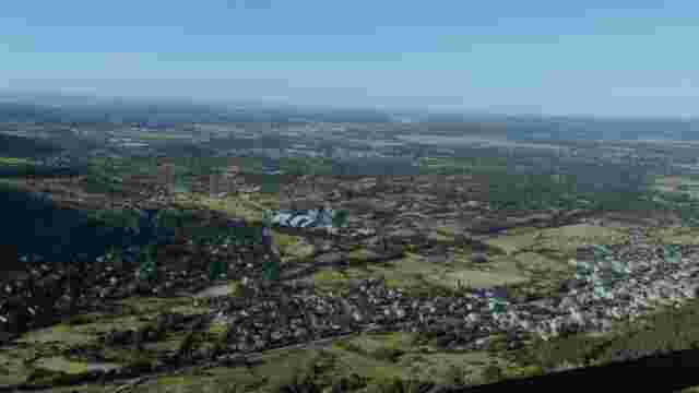
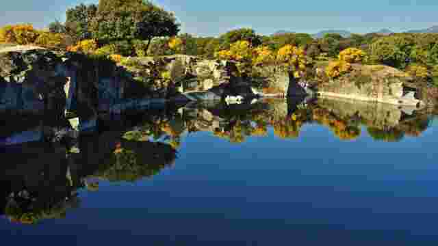
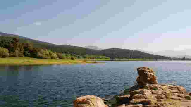
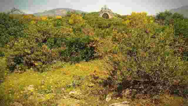
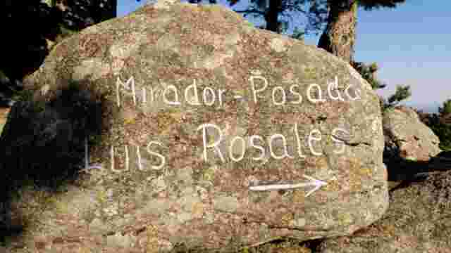
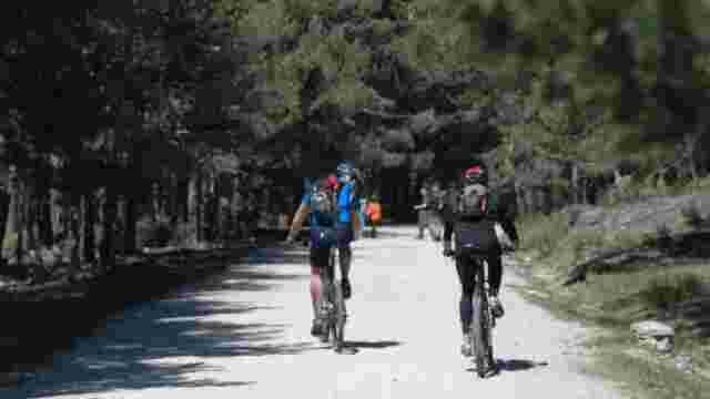
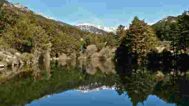
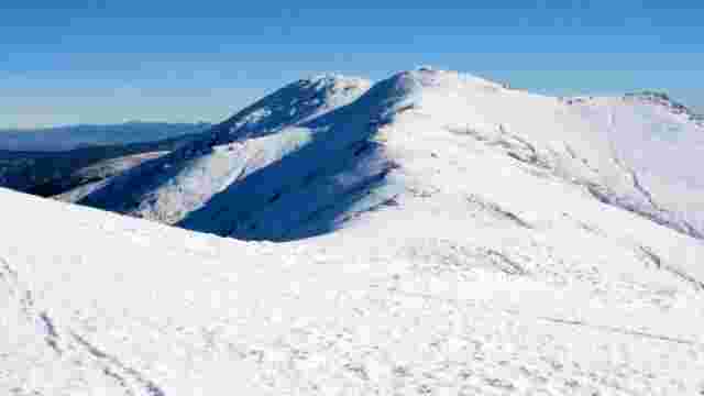
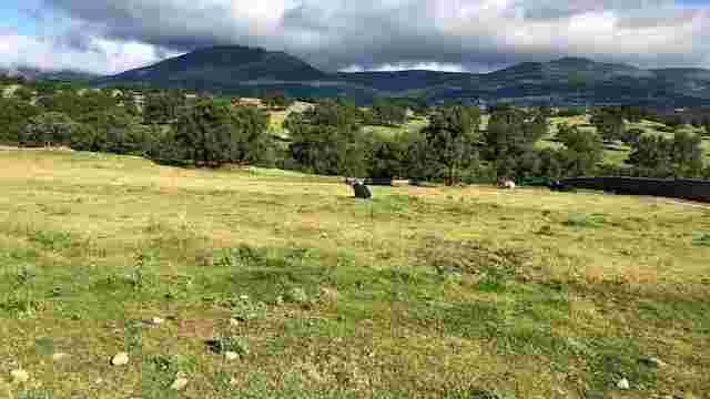
From the bridge over the Manzanares River at the western entrance to the village, cross the M-608 road and head towards the bridge at the end of the Santillana reservoir, where the Samburiel stream flows into the reservoir. From this place, where vehicles are usually parked, take the steeply sloping cattle track that ascends to the south (this is a long-distance footpath identified on the map with the reference GR-124). At around 970 m. the track becomes less steep and the views to the north over La Pedriza, Cuerda Larga, La Maliciosa and Sierra de los Porrones are formidable. The pine forest appears on the right hand side of the path, although you can also see a few isolated trees next to the crags to the left (1.2 km. from the bridge over the reservoir). The path continues to gain height and the western face of the Cabeza Illescas hill now becomes the point where the walker's gaze and attention converge. Finally you reach a kind of pass that acts as a wide viewing platform (2.3 km. from the bridge over the reservoir). From here, at an altitude of over 1,000 metres, the gorge narrows and descends southwards between junipers and holm oaks until, after approximately 500 metres, you reach a crossroads. From here, the view of the Sierra de Hoyo (to the south) and its slopes, profusely colonised by holm oaks, will accompany us until the end of the route. Daniel Ferrer and Fernando Santa Cecilia Continue for 3 km along the main road heading west (towards Cerceda) until you reach the M-607 road (Madrid-Puerto de Navacerrada, known as the Colmenar Viejo road). From this point there is the option of walking along the side of the road to Cerceda (2 km) or crossing the road and following the cattle track for 1 km. In 10 or 15 minutes, bordering some pastures of ash trees with fighting cattle, it will take you to the football pitch in Cerceda.