Route 16: Discovering the Silver Forest of La Jarosa in Guadarrama
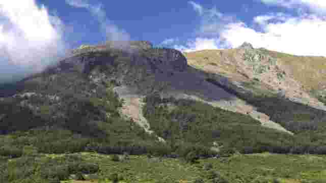
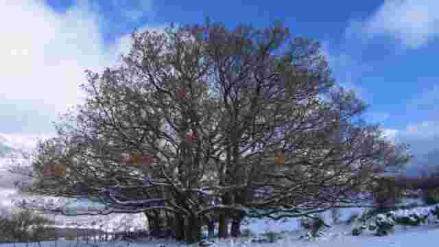
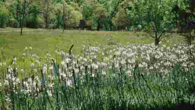
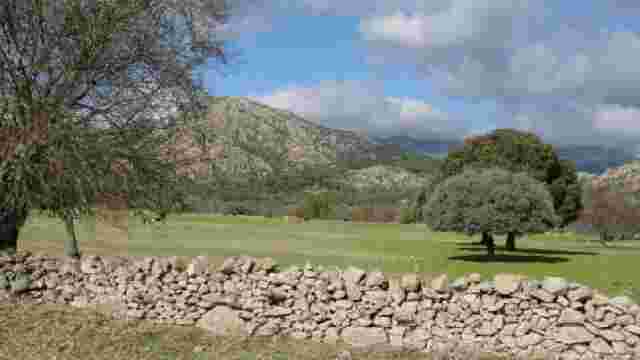
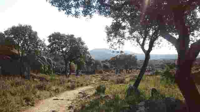
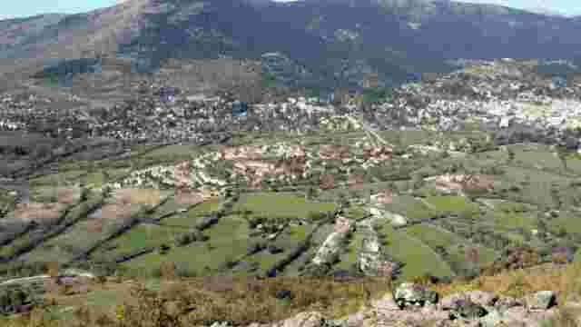
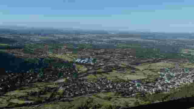
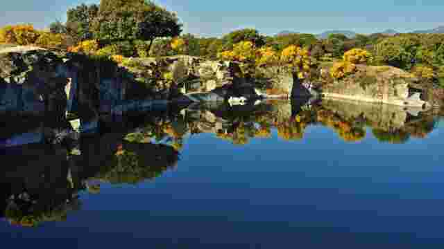
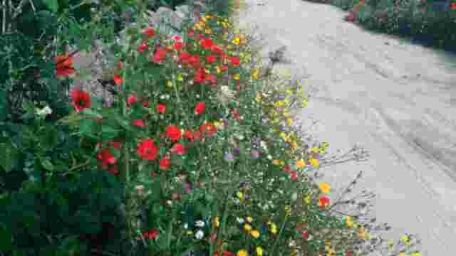
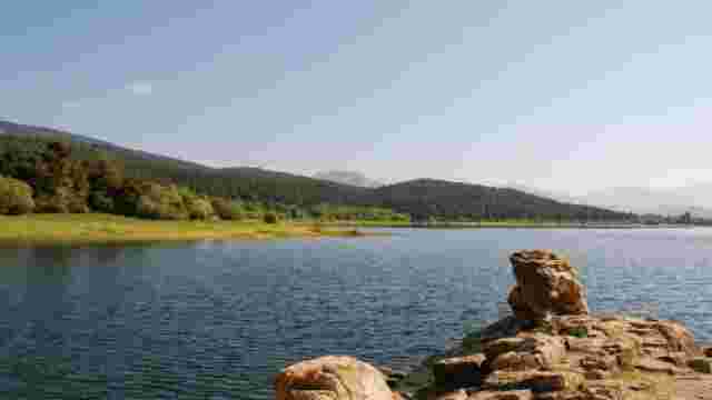
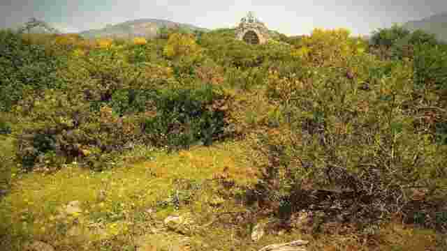
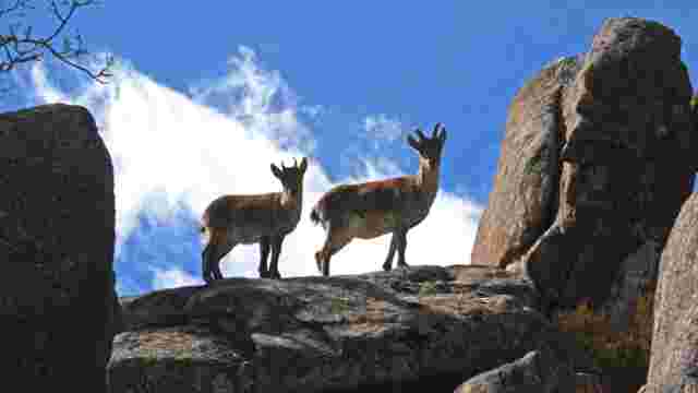
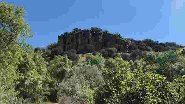
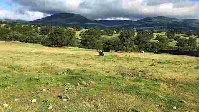
This is a circular route that starts at the La Jarosa II car park, following the asphalted forest track and taking the second turning to the right along the forest track known as the Calle de los Álamos. At this point we propose to follow the path parallel to the course of the stream, which rejoins the Calle de los Álamos after about 500 metres. A little further on, you will see the remains of several buildings from the Civil War period, used as dwellings or buildings for the quartermaster's office. Along the forestry track there is information about old trades associated with wood, and you can also see an old log loading bay. About 250 m from this point there is a detour to the right that we ignore and continue straight on. When you pass the second stream, a little further on, you will see marks of resin extraction in the pine trees. At this point, the path begins a gentle and continuous ascent until it reaches a meadow. Along this ascent, the dense pine forest has given way to some oak trees, and there are two types of laricio and wild pines, together with a more developed undergrowth of ferns and bearberry mainly. On reaching the Tomillar meadow there is a crossroads with the asphalted forest track, continue along this for 1.5 km upwards to reach the area with the highest density of laricio pines known as the Silver Forest, due to the colour of the bark of these laricio pines. This is where the longest-lived specimens are to be found, some of which are over 500 years old. The route ends at the meadow of La Covacha, from where there is a panoramic view of the Sierra de Guadarrama and from where you can access the crag of the same name. From here you start the return journey until you reach the asphalted forest track, always following this track and without turning off onto any other path, you will reach the recreational area where you started.