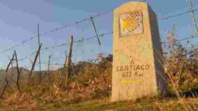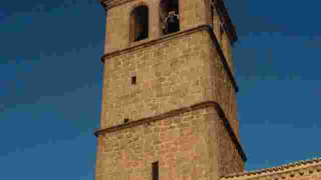
Route 12: From Becerril de la Sierra to the Cerro de las Ruedas viewpoint.
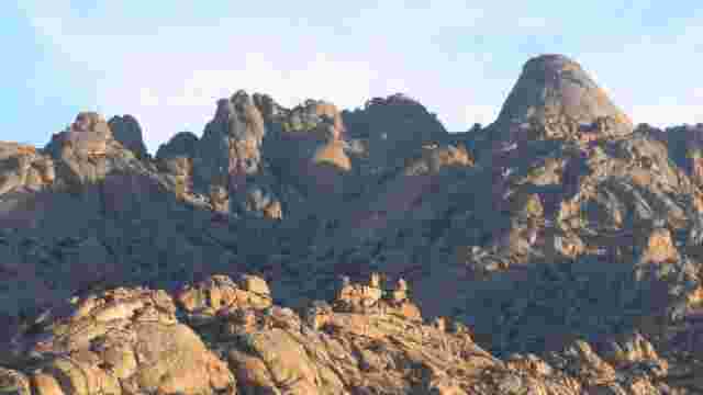
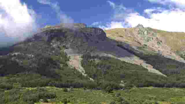
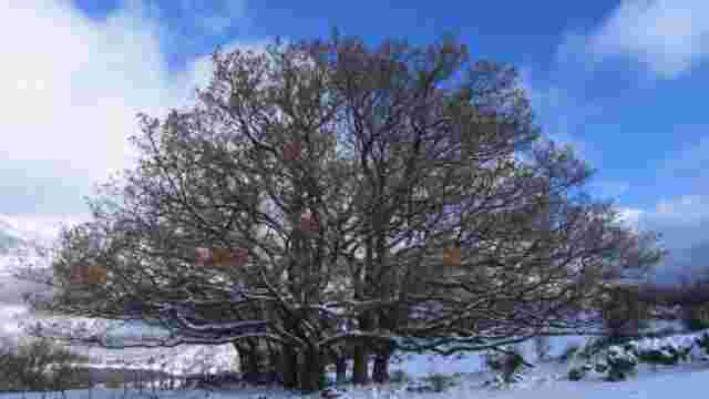
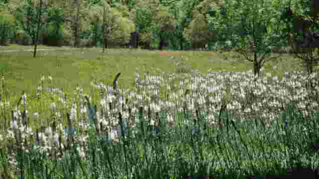
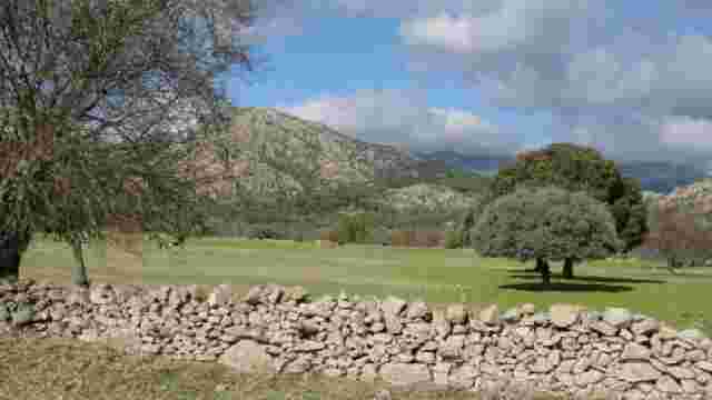
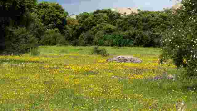
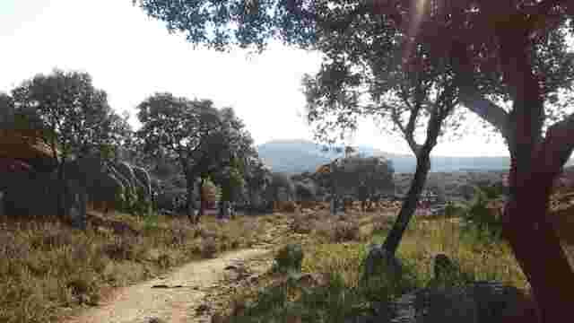
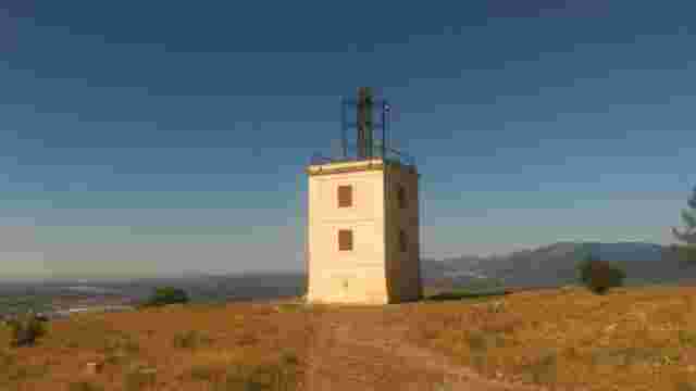
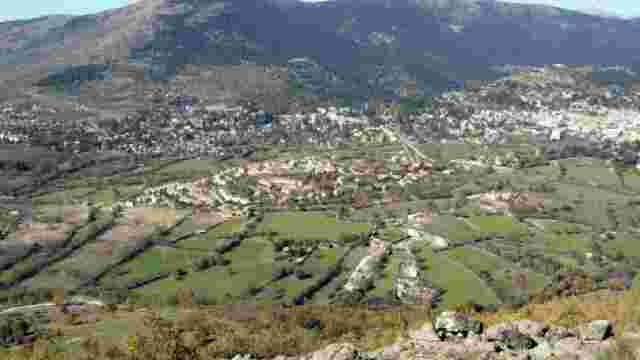
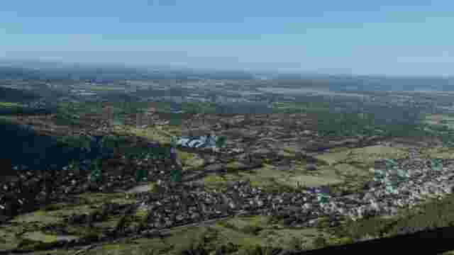
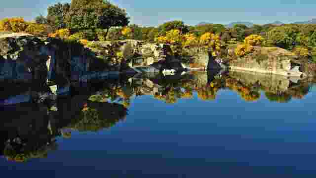
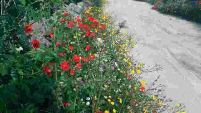
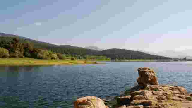
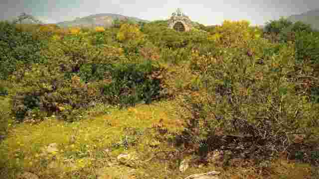
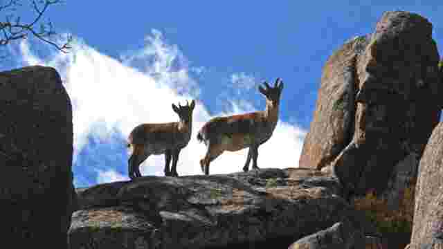
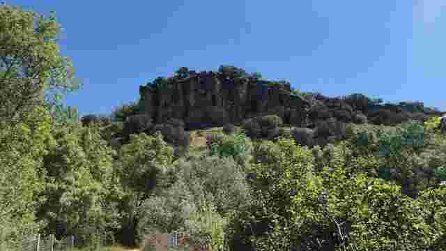
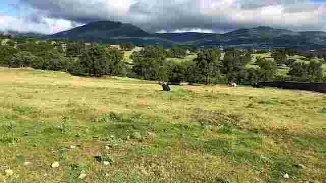
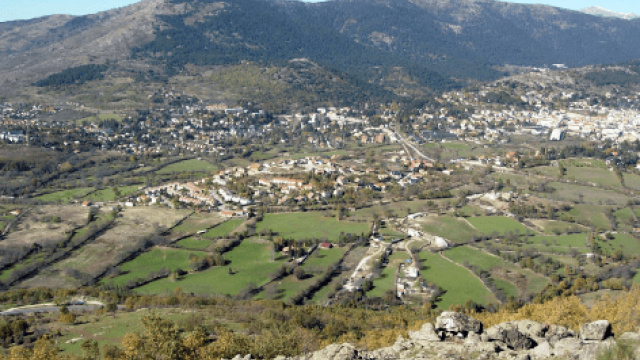
The route starts in the town of Becerril de la Sierra, from where you take the M-861 road that leads to the Navacerrada reservoir dam. From here, continue on to the M-601 road that leads to Puerto de Navacerrada and skirt the reservoir along a narrow path until you reach the roundabout at the entrance to the town of Navacerrada, where the sandy path begins, which climbs up through the La Golondrina meadow to the chapel of San Antonio (signposted). Every year on 13 June this small hermitage celebrates Navacerrada's patron saint's day with a pilgrimage. From here, continue along the sandy track to the first crossroads on the road, choosing the branch that climbs to the right. You will soon come to a spring where cattle often drink, but continue on and take the path that appears on the left, which leads to the Cerro de las Ruedas hill, where there is a fire watch hut. On this excursion, on the Golondrina hill we can enjoy one of the most interesting and best conserved formations of oak trees in the whole region and a very valuable plant unit from an ecological point of view, as it creates good soil conditions and allows the existence of an interesting undergrowth made up of rockroses, thyme, lavender and lavender. In addition, this type of formation is home to a wide variety of fauna, especially birds, insects, reptiles and small rodents. Did you know that... From the chapel of San Antonio onwards, the landscape changes and you enter a world with a clear vocation for livestock farming, in which the herds of sheep devoid of vegetation, the cleared groves and the springs where the livestock drink are the main elements of the landscape. The Cerro de las Ruedas viewpoint, where the excursion ends, is a privileged vantage point, as it offers very wide views in all directions, with particularly attractive views to the west and northwest, where you can see the Cercedilla-Los Molinos depression, with its characteristic fenced fields, and the entire mountain range between the Alto de la Peñota and the Puerto de la Fuenfría, with its slopes colonised by pine forests.