Route 7: Walk among ash trees, oaks and stone fences in Soto del Real
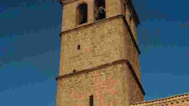
Starting from the back of the church, turn left along Avda. de España, leaving the Parque del Río on your right. About 400 metres further on, at the height of the nursery school, we reach a crossroads and turn right.
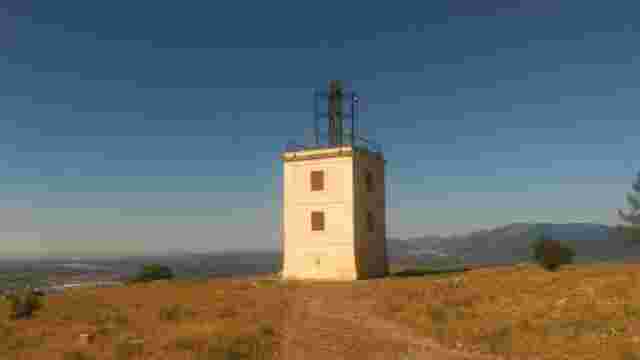
The asphalt ends and we will see a water tank on the right at the top of the road. We reach the Cañada Real Segoviana, which we cross and climb up without leaving the dirt track we are walking on. We will find a Canadian pass (a fence in the ground to prevent the passage of livestock) where we find the border of the Cuenca Alta del Manzanares Regional Park.
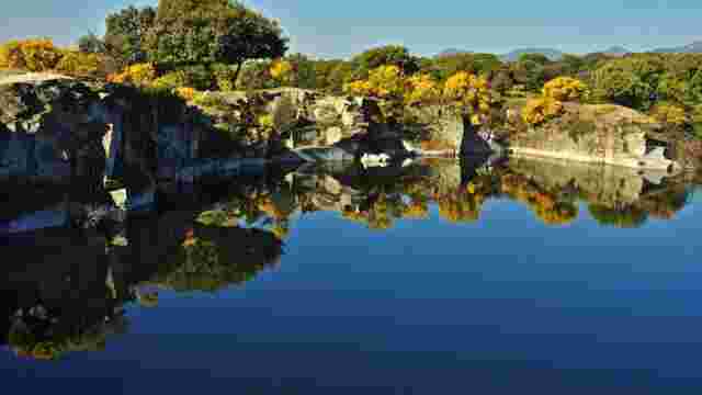
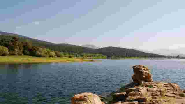
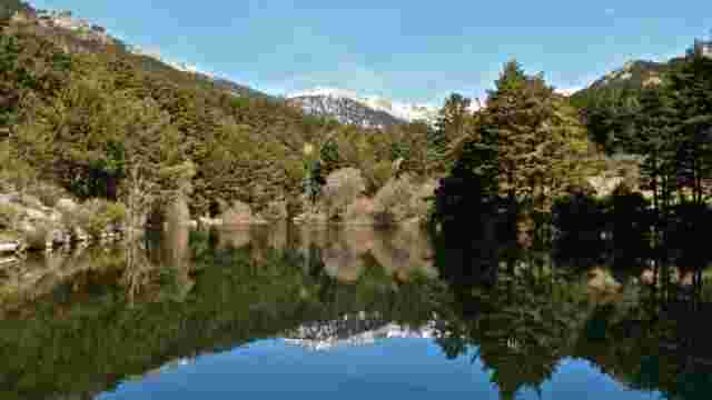
We continue ascending between junipers and take the path that goes off to our right and surrounds the Soto reservoir. Above the reservoir we find a fork, take the path to the left and we can see the reservoir and in front of us in the distance the Collado de la Dehesilla pass through which we could pass to La Pedriza. Without leaving the track and ignoring the paths that go off to the left, we will reach the Arroyo Mediano.
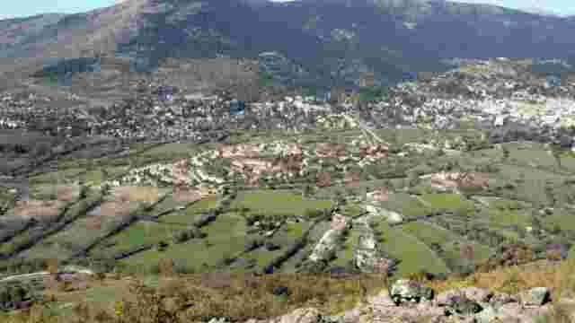
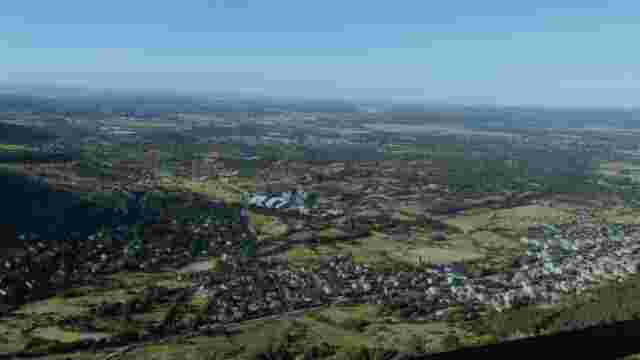
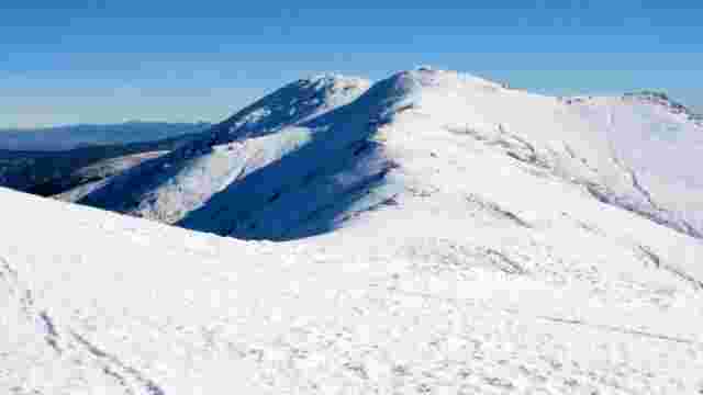
Cross it and you will come to a fence that prevents motor vehicles from passing. From here we will be surrounded by pine trees as we ascend. A little later we will be in the Hoya de San Blas. We will pass a Canadian pass and from this spot, which is the highest point we will reach on the excursion, we have beautiful views of the Hoya de San Blas, the Cuerda Larga, the village of Soto del Real and the Pico San Pedro. To return to Soto del Real we start our descent and after about 500 metres we cross the Arroyo del Mediano Chico.
At the end of the descent, just under 2 kilometres from the last Canadian pass, there is a path to the right with a metal fence that we cross. From here the road is once again open to traffic. After a kilometre we come across the Arroyo de la Hoyuela stream, which can be crossed via a narrow bridge. From here we come across the first buildings.