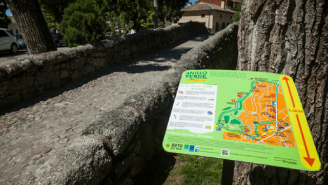
Paseo Anillo Verde. Soto del Real
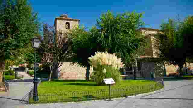
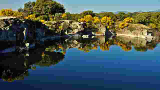
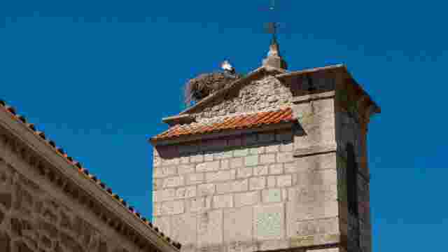
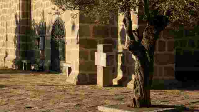
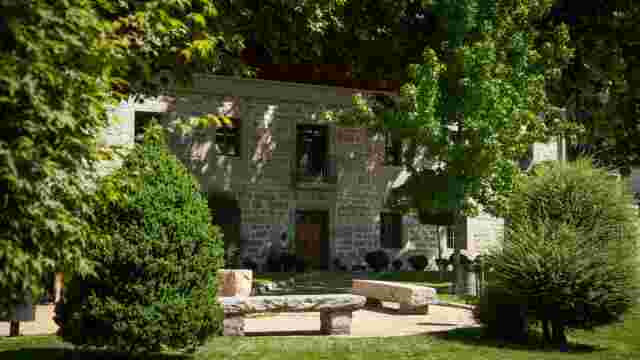
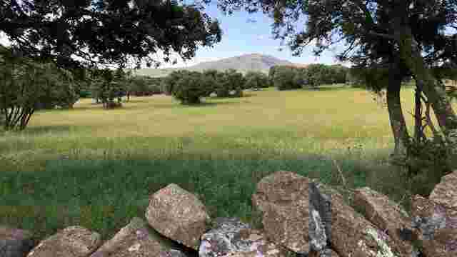
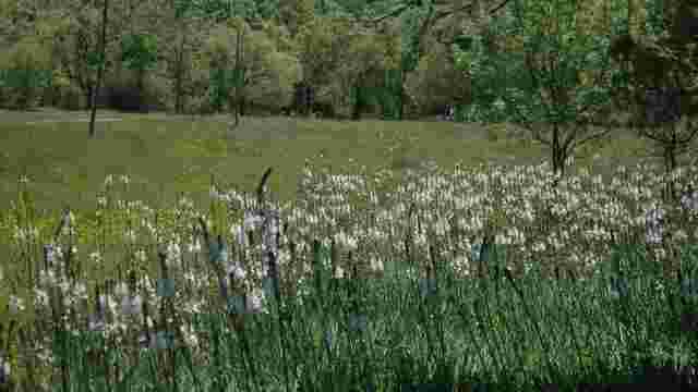
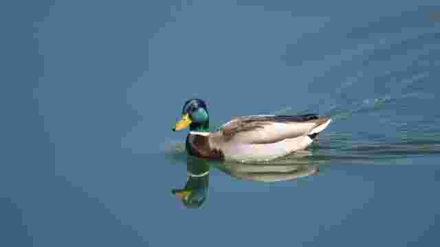
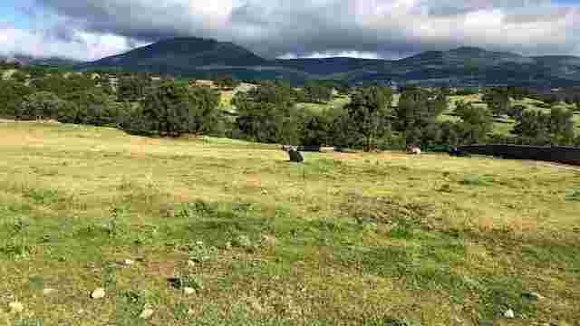
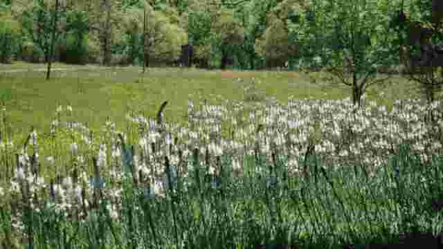
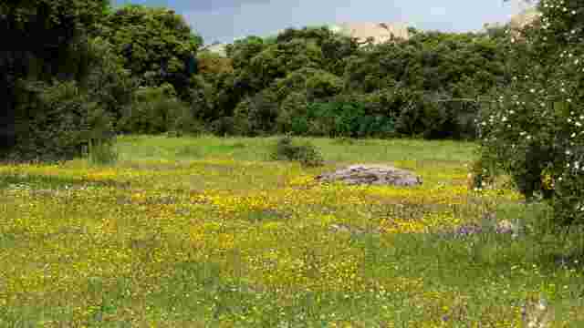
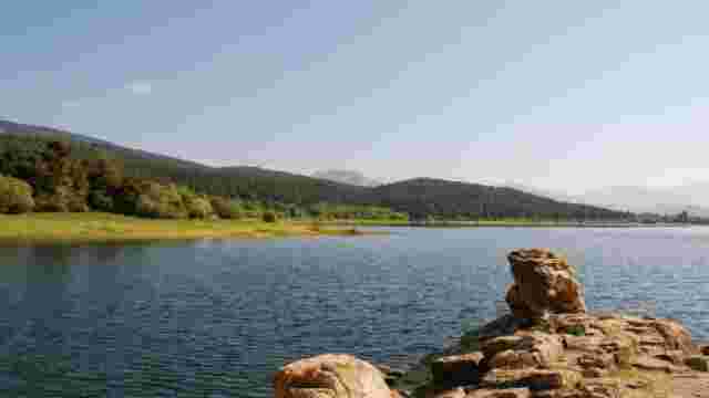
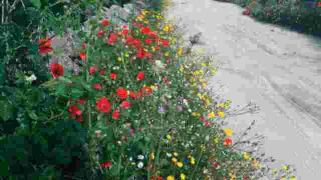
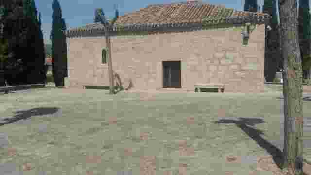
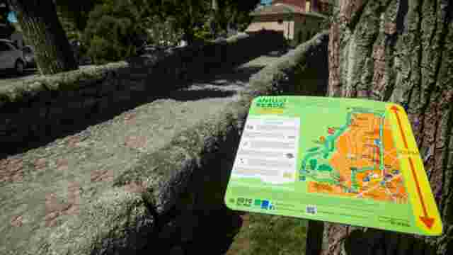
This route takes us through the municipality of Soto del Real along its Green Belt. It is very easy to walk, with hardly any gradient. The route starts at the Church of the Inmaculada Concepción and, sharing part of the Camino de Santiago, we head towards the outskirts of the municipality. After approximately 1km, and now on the outskirts of the municipality, we follow the route of the Cañada Real Segoviana, which will accompany us on the outskirts of the municipality. During the 2 km long section, we will pass several amphibian ponds, White Stork nesting areas and we will reach the highest point of the route, all accompanied by riverside vegetation, thanks to the waters of the Arroyo Chozas. In the next section, we return to the urban area, about 2km long, walking along a well-surfaced and well-signposted pedestrian walkway at all times. The Soto del Real green ring has three distinct areas. The first section, until reaching the area of the Cañada Real Segoviana, runs through the historic area of the municipality, where we share a street with preference for pedestrians with vehicles and the passage of a main avenue. The second part, on the outskirts of the municipality, runs along the Cañada Real. It is a wide road with a good surface. It has two fords over seasonal streams. It is quite busy with vehicles, as it gives access to several farms and villas on the outskirts of the municipality. The third and last section runs along a pedestrian walkway shared with bicycles, parallel to and separate from the M 611 and the area of the town centre, which has preferential streets for pedestrians. The route runs through the outskirts of the municipality of Soto del Real. It is a circular route. It can be divided into 2 sections. The first section of the route runs through the urban area of the municipality, starting from the church car park and reaching a dirt track. This is a stretch where we are obliged to pass through and cross the streets of the municipality, sharing the road with vehicles. The second section runs along wide dirt tracks with a good surface. There are some forks, but these do not pose a major problem. The third and last section runs along a pedestrian walkway that leads us to the end of the route in the town centre, which is shared with bicycles that can pose a danger. It should also be noted that, as this is an urban section, we will be forced to make crossings and crossings through the streets of the municipality, sharing the road with vehicles.