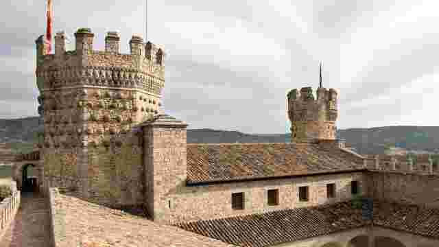
Hoyo del Manzanares through the Mediterranean Forest
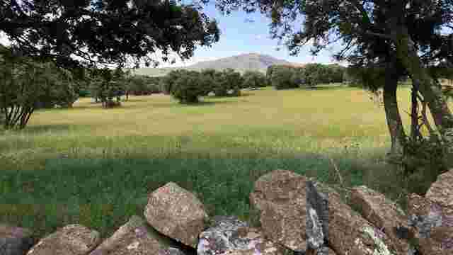
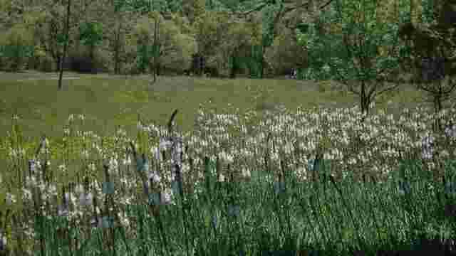
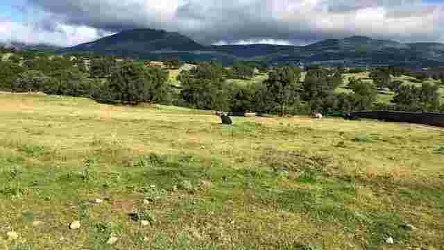
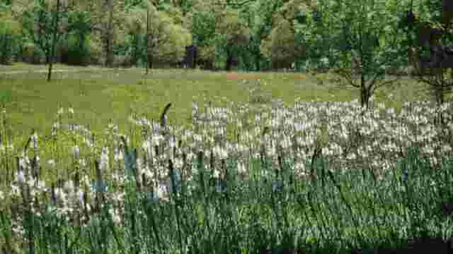
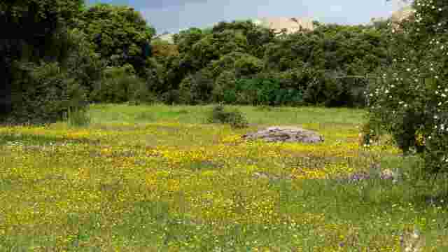
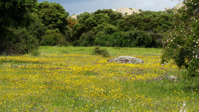
This is a circular route through the municipality of Hoyo de Manzanares. With an approximate distance of 13 km. Low difficulty. It does not present great unevenness. The route starts in the northern part of the municipality. It runs along a path that constantly borders a wall that limits the houses and adjacent plots of land. During this stretch, you will find some complicated points to walk, as the streams and the decomposed stony ground will not make it easy. Once we have passed this section, we will go through the eastern part of the municipality, where we will have to cross the M-618 road. Warning: this is a dangerous crossing as there is no pedestrian crossing. After crossing the road, we enter Monte El Ejido, a typical Mediterranean forest, where the walk is comfortable and safe, except for the crossing of the M-618 road, which is also dangerous as there is no pedestrian crossing. This area runs along the south of the route and leads to the west. The paths are easy to follow. Finally, after passing Avenida De la Berzosa and walking alongside it, we head towards an upward sloping stretch of stony and irregular dirt track, where we will find some areas that will be difficult to pass. Turn right and head for the last stretch before reaching the end of the route. The route can be done all year round, but if it is done in summer, it is advisable to carry plenty of water, as there is no water point along the route. The route runs through the outskirts of the municipality of Hoyo de Manzanares. It is a circular route and passes through three clearly distinguishable areas. The first section skirts the northern part of the municipality and leads to the eastern part. It alternates between paths and dirt tracks. There are occasional areas where erosion and streams of water make it very difficult to overcome the obstacles. The second section, which begins with the crossing of a national road where there is no way, either zebra crossing or footbridge, to cross it. The section runs through the south-east and south-west area, where the paths are wide and well-surfaced, without any complicated points, with the exception of another road crossing, like the one mentioned above. After crossing the road, the section is similar to the previous one, with wide, well-surfaced dirt tracks. The third and last section begins by crossing an avenue with a large number of vehicles, but this one is crossed by a zebra crossing. We continue parallel to the avenue and then we pass through an area that intersperses paths and trails of decomposed and stony earth that rise gently. There are occasional areas with a high degree of difficulty, due to the characteristics of the section. Once we have passed the ascending section, we will turn right, where we will take a completely flat path that will take us to the end of the route.