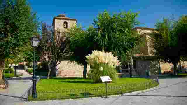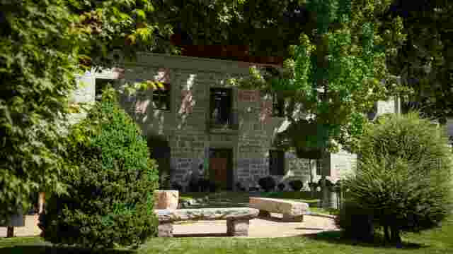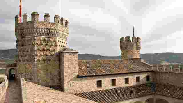
Route 6A. Miraflores de la Sierra to Soto del Real.
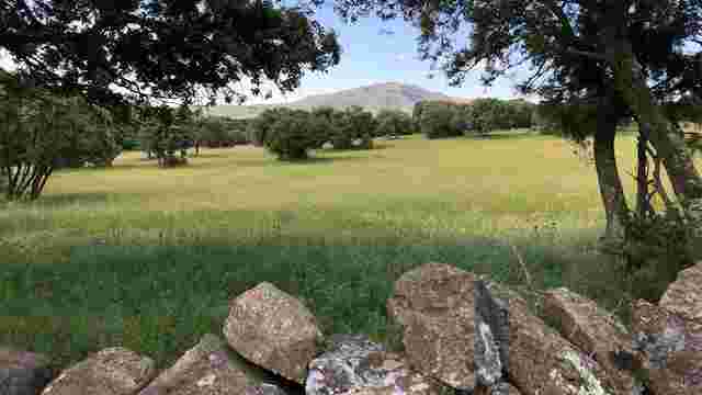
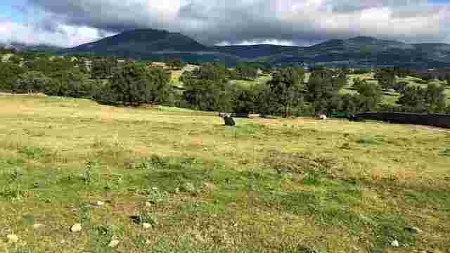
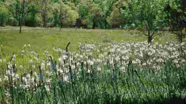
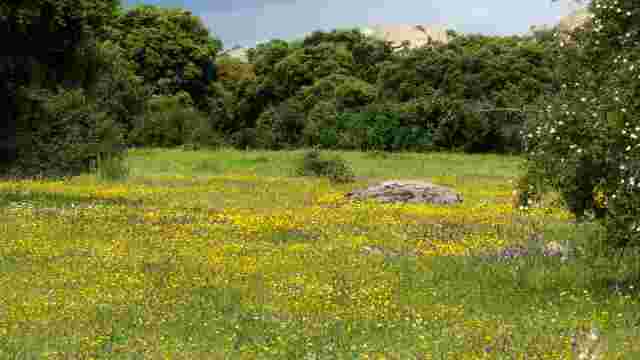
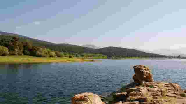
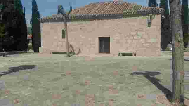
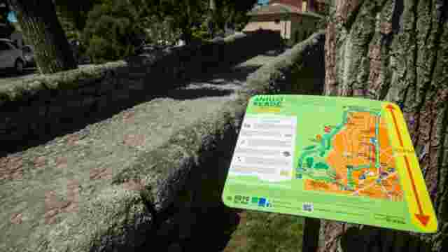
This is an 8.1 km linear route that connects the municipalities of Miraflores de la Sierra and Soto del Real. It is of medium difficulty as it has a gradient of more than 300 metres and there are some sections of medium-high complexity. The route starts at the Fuente del Cura recreational area, along an asphalted track that climbs under an oak grove. After the first 300 metres, the track turns to dirt and continues climbing slightly up to the San Blas viewpoint. At this point the route turns off to the left onto a downhill dirt track that descends to the hermitage of San Blas. After passing the hermitage the route continues along a slightly descending dirt track. After turning off to the right we find the most complex section of the route, as it is a steeply descending path, winding and with very uneven terrain, which passes between fenced livestock farms. After passing this section, it joins a forest track that passes next to the Nuestra Señora del Rosario Chapel and reaches the town centre of Soto del Real. We walk through its streets, passing through the Plaza de la Villa to reach the end of the route at the back of the Parroquia de la Inmaculada Concepción (Immaculate Conception Parish Church). The route can be divided into 4 distinct sections: the first occupies most of the route, and runs along easy dirt tracks with some more complicated points due to steep eroded terrain and some points with high risk due to steep slopes on the sides of the road. The second section is quite complex as it is a narrow path with a steep descent and very uneven terrain. The third section runs along dirt tracks that are easy to walk on, and the last section runs through the streets of Soto del Reals, always along pedestrian streets or pavements.