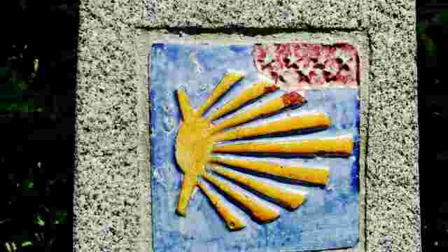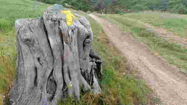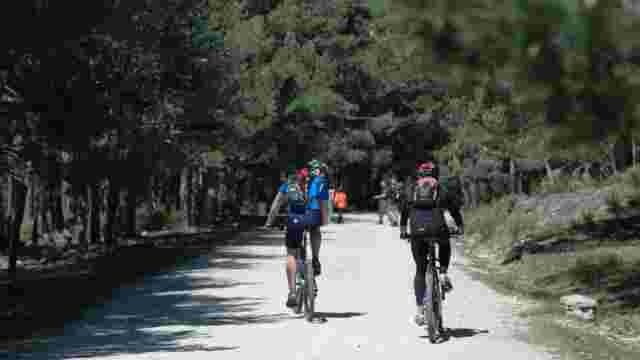
Road to Madrid. Stage 2. Tres Cantos to Manzanares el Real
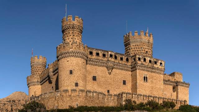
At the Tres Cantos railway station our route turns to the left, pay attention, it is the second path we find and not the first one, as it crosses over the Madrid-Valladolid AVE tracks. It takes a wide path that leads us to the Tejada stream, to, from here, climb upstream of it, while the path crosses it, fording it 11 times, after crossing the first bridge there is a fountain on the right, on the other side of the stream. About 2 km upstream, shortly after passing by the Mochuelo fountain, it begins to gain height and, after leaving the municipal cemetery on the right, our Way arrives at Colmenar Viejo, where we first find the hermitage of Santa Ana. The entrance to the town is through the cemetery, the Santa Ana chapel and the Lorenzo Rico sports centre. We then walk up Calle Santa Ana to the church. Our route then follows the streets Isabel la Católica, Viento, Reloj, Plaza Berenjena, Colmena del Cura, Plaza Maestro Almeida, Calle Carretera de Hoyo, Jacinto Benavente, Avenida de América and we reach Avenida de los Poetas and Ronda Oeste until we reach Calle Pilar de Zaragoza, where we turn left to take the Gallegos gully at the end and leave Colmenar Viejo, leaving the modern parish church of Santa Teresa on our right, surrounded by new housing developments of flats and terraced houses, a clear sign of the expansion of these old villages which have now become dormitory towns. Our route takes us towards the mountains, leaving a small livestock farm on our right. About 1 km further on we come to a fork and take the path on the right, which allows us to cross the Madrid-Burgos railway under a subway, 1 km from the previous crossing. Without major complications and along a very pleasant stretch of cattle track, we reach the Manzanares River, passing under the viaduct of the Colmenar-Cerceda road, a work from the end of the 20th century. Nearby we come to the Batán bridge, of Roman origin, which served the secondary road between SEGVUNTIA (Segovia) and COMPLUTUM (Alcalá de Henares). Cross the bridge and about 100 m further on we ascend to take a wide path with signs for a cattle track. After about 2 km we find a secondary fork on the right. We ignore it and continue along the main path that leads us to the entrance to the Valderrevenga estate, which we leave on the left. We continue along our path for about 1.5 km more, until we come to a branch on our right that clearly leaves the path we were on. We take this diversion, which ascends gently until it reaches a height from which we can begin to make out the town of Manzanares el Real. We descend towards Manzanares and before we get there we cross a bridge over the Santillana reservoir and then the Soto del Real-Cerced road.