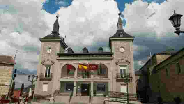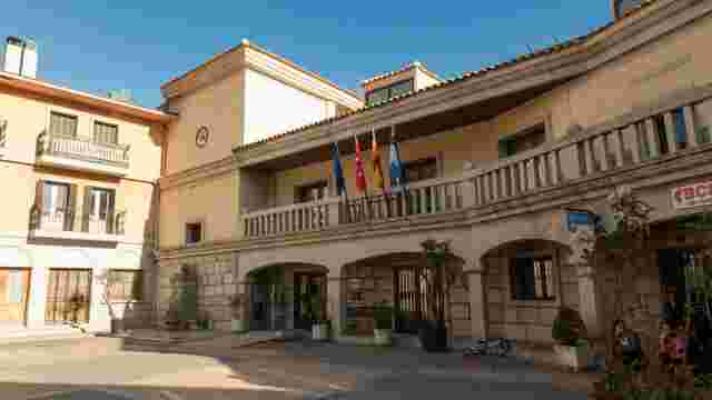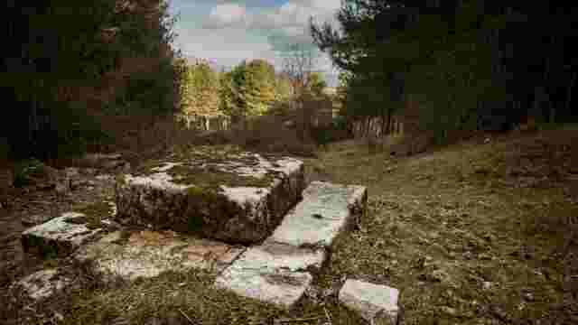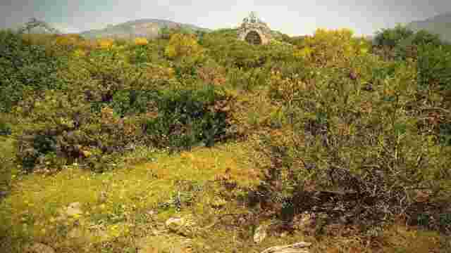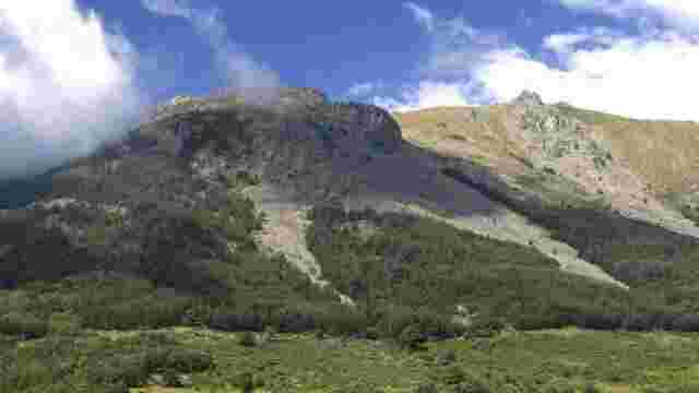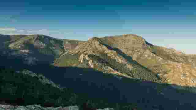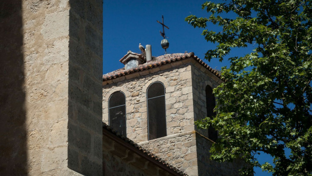
From Soto del Real to Miraflores de la Sierra via Ermita del Rosario
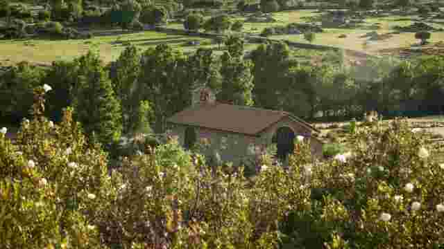
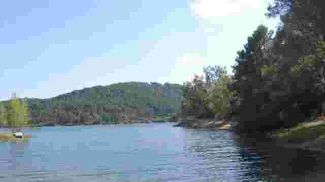
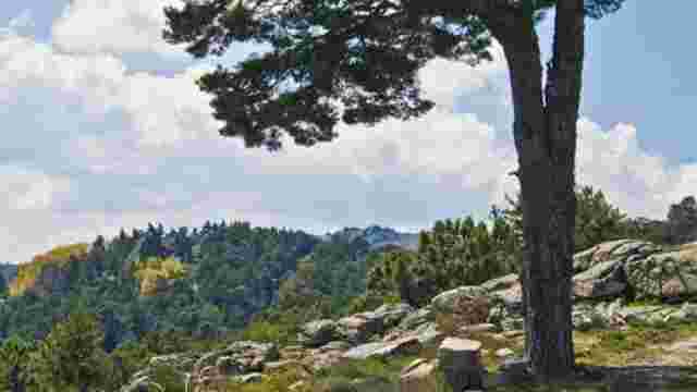
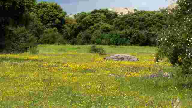
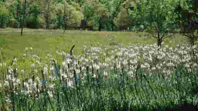
This route can be done in a linear way, as proposed here, but it also offers the possibility of a return trip from Soto del Real or from Miraflores de la Sierra indistinctly. We start from the back of the church in Soto del Real, taking Avda. de España to the right until we reach the second roundabout, which is the Plaza de Chozas. Take the left-hand branch that ends at the Cañada Real Segoviana, where we turn right. Approximately 1,500 metres further on, the cattle track turns right, but we continue straight on along a path that climbs upwards and leaves the Ermita de la Virgen del Rosario on the right. After passing a Canadian pass (a fence in the ground to prevent the passage of livestock), we will ascend until we reach a fork. Take the path on the left, which climbs pleasantly between farms. When you reach the dirt track, turn left (turning right would take you to the Soto-Miraflores road), until you reach the beginning of a concrete track, where you turn right towards the north and, in a few metres, you will see the San Blas Chapel on your right. To go towards the Fuente del Cura in Miraflores, take the track that goes off to the left and ascends for 1.5 km, where you will come to a turning. Continue along the track on the right, following the signs for the SL-02 (Sendero Local), which will take you through the oak grove to your destination. The area around Soto del Real is made up of wide ash groves and meadows that link up to the north of the foothills with the Najarra and Hueco de San Blas elevations. This sector of enclosed fields is connected internally by a wide network of paths and tracks that connect a fragmented agricultural and livestock farming area. Granite plays a leading role in this landscape and can be seen in fences, enclosures, haystacks, etc., elements that reflect ancient forms of land use and tenure.